Writing a map engine from scratch
中文Map Bench
Each workbench here takes one part of how maps are made and writes it from scratch, with no map library underneath. Every one is a live map you can drag, with the method laid out beside it.
Part 1
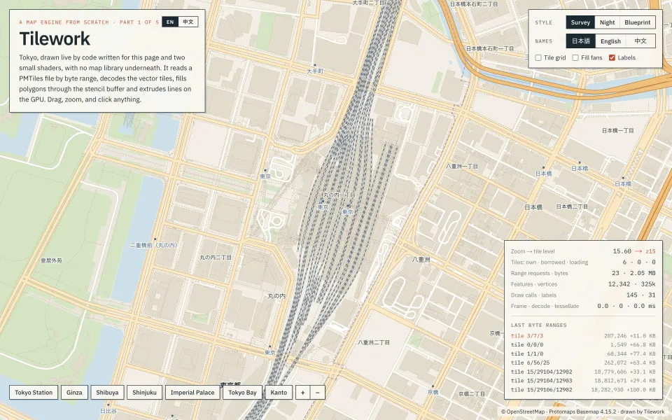
Tilework
Tokyo drawn straight from a PMTiles file: byte-range reads, vector tiles decoded by hand, polygons filled with the stencil buffer.
Open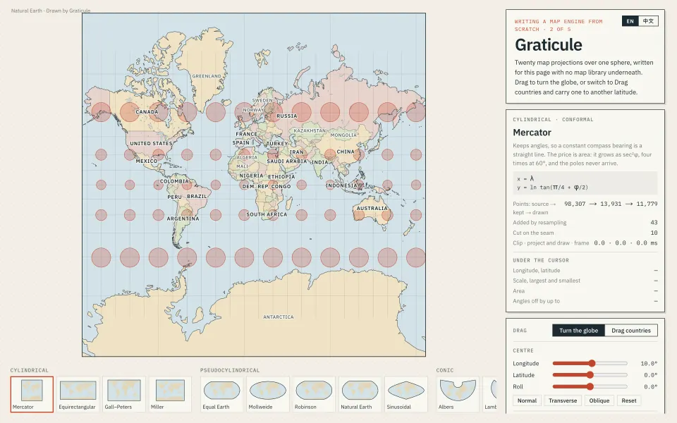
Part 2
Graticule
Twenty projections over one sphere, with Tissot circles, a distortion map and countries you can drag to another latitude.
Open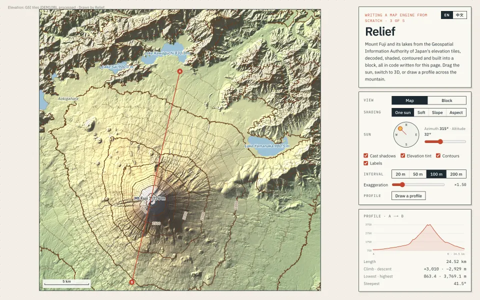
Part 3
Relief
Mount Fuji from GSI elevation tiles: hill shading, contours and a terrain block, with a sun you can move and a profile you can draw.
Open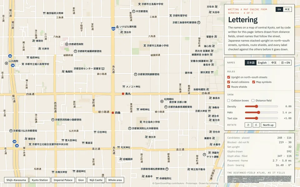
Part 4
Lettering
The names on a map of central Kyoto: distance-field letters, street names that follow the street, and no label covering another.
Open
No map library
Tile decoding, projection, triangulation, label placement and simplification are all written for the page they appear on.
Real, open data
OpenStreetMap, Natural Earth, GSI elevation tiles and aerial photos, the 2020 census and PLATEAU, each credited on its map.
The method beside the map
Each page explains its algorithm step by step and reads back the numbers it measures, in English or Chinese.